Time Difference: EST + 5 hours Current Time and Date in Niger
Currency: Currency Converter – CFA Franc (XOF)
Travel Advisory: State Department Report Niger
US Embassy in Niger: niamey.usembassy.gov
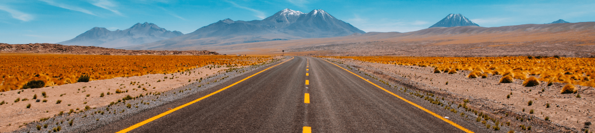
Niger, is a landlocked country in Western Africa, named after the Niger River. It borders Nigeria and Benin to the south, Burkina Faso and Mali to the west, Algeria and Libya to the north and Chad to the east. Niger covers a land area of almost 1,270,000 km2, making it the largest nation in West Africa, with over 80 percent of its land area covered by the Sahara desert. The country’s predominantly Islamic population of 17,129,076 is mostly clustered in the far south and west of the nation. The capital city is Niamey, located in the far-southwest corner of Niger.
Health: CDC Niger
What to Pack
Weather: Niger Weather
Communications: Dial 011 followed by country code 227
Travel Requirements
- Passport
- Visa required for all US Passport Holders, If you are not a US Passport holder, please consult the embassy in your region.
Diplomatic Missions
Mission permanente du Niger auprès de l’Organisation des Nations Unies
Marginal site of the representation of Niger to the UN.
The information on this UNDP Niger site is not very up-to-date (in French).
Ambassade du Niger Embassy
Embassy of Niger in Canada.
CLIMATE
Warm Season: September – January; Average high temperature above 85°F and average low of 65°F
Cold Season: May -July; Average high of 72°F and average low of 68°F
Language: French is the official language
UNESCO WORLD HERITAGE SITE
Air and Ténéré Natural Reserves
This is the largest protected area in Africa, covering some 7.7 million ha, though the area considered a protected sanctuary constitutes only one-sixth of the total area. It includes the volcanic rock mass of the Aïr, a small Sahelian pocket, isolated as regards its climate and flora and fauna, and situated in the Saharan desert of Ténéré. The reserves boast an outstanding variety of landscapes, plant species and wild animals.
W National Park of Niger
The part of ‘W’ National Park that lies in Niger is situated in a transition zone between savannah and forest lands and represents important ecosystem characteristics of the West African Woodlands/Savannah Biogeographical Province. The site reflects the interaction between natural resources and humans since Neolithic times and illustrates the evolution of biodiversity in this zone.
Historic Centre of Agadez
Known as the gateway to the desert, Agadez, on the southern edge of the Sahara desert, developed in the 15th and 16th centuries when the Sultanate of Aïr was established and Touareg tribes were sedentarized in the city, respecting the boundaries of old encampments, which gave rise to a street pattern still in place today. The historic centre of the city, an important crossroads of the caravan trade, is divided into 11 quarters with irregular shapes. They contains numerous earthen dwellings and a well-preserved group of palatial and religious buildings including a 27m high minaret made entirely of mud brick, the highest such structure in the world. The site is marked by ancestral cultural, commercial and handicraft traditions still practiced today and presents exceptional and sophisticated examples of earthen architecture.